
Mapping.
Analysis.
Accuracy.
Comprehensive Surveying
and Digital Mapping Solutions
Company
VSURVEY GROUP Single-Member P.C. was established on 9 November 2022 and is a modern company specializing in comprehensive surveying, digital mapping, and technical measurement services.
We leverage advanced geospatial technologies to deliver topographic surveys, engineering support, construction supervision, and monitoring solutions for projects of all scales.
Services
Surveying, Mapping & Engineering Services
Engineering Project Supervision
Professional supervision and monitoring of engineering projects with complete documentation.
Continuous progress tracking, quality control, and compliance with project specifications.
Digital Mapping & 3D Modeling
Production of orthophotos, DSM/DTM datasets, 3D models, and high-accuracy geospatial data.
Ideal for engineering projects, infrastructure development, and construction progress monitoring.
Topographic Surveying
Accurate land surveys using state-of-the-art GNSS equipment, drones, and laser scanning technology.
Suitable for engineering studies, permitting, boundary surveys, and construction projects.
Construction & Engineering Projects
Execution of private and public construction projects with reliability, technical expertise, and professional excellence.
From small-scale developments to complex infrastructure projects.
Equipment
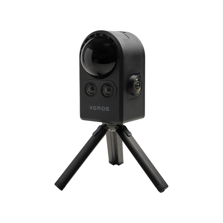
Powered by State-of-the-Art Equipment
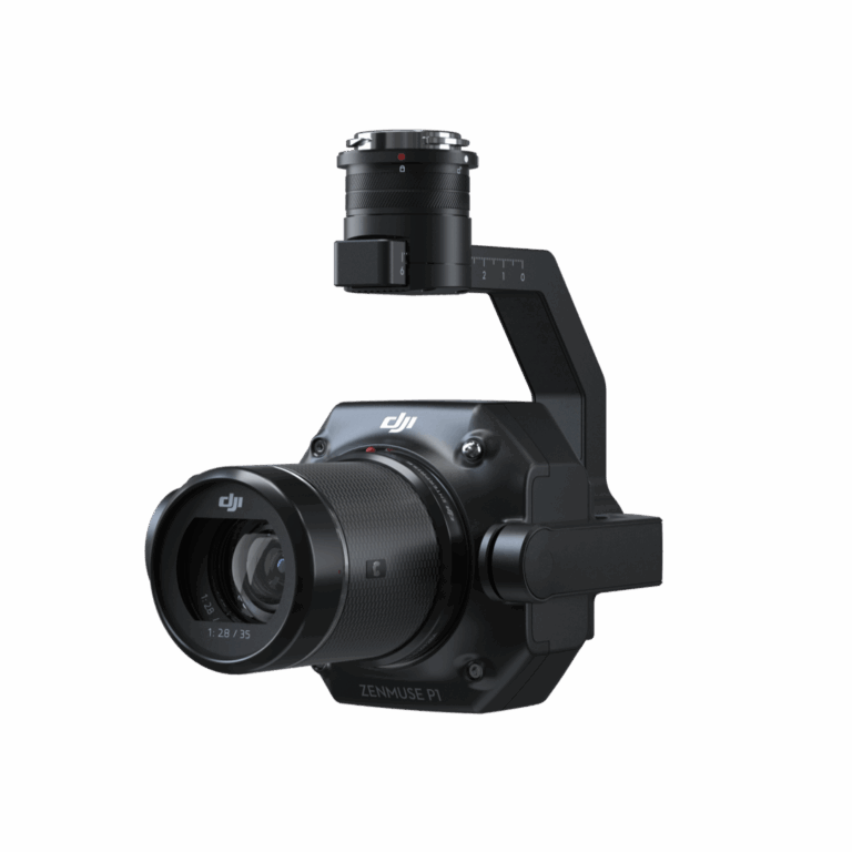

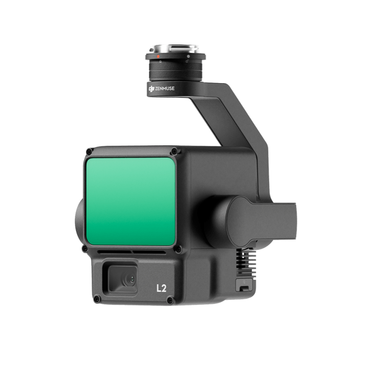
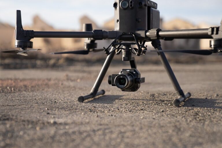
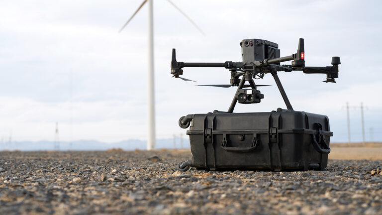





Funding – NSRF / TEPIX III
VSURVEY GROUP Single-Member P.C. has been “awarded funding under the "Competitiveness 2021–2027" Programme through the TEPIX III initiative.
The project is co-funded by the European Union and national resources.
Project Duration: May 2026 – May 2030
Total Budget: 50.000,00 €
Eligible Budget: 42.000,00 €

