Precision in every project
Τα Έργα μας
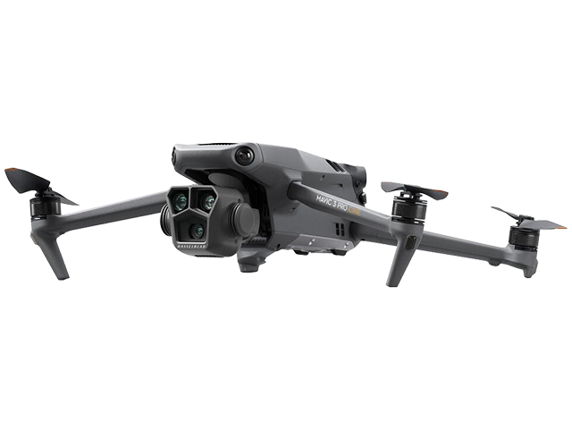
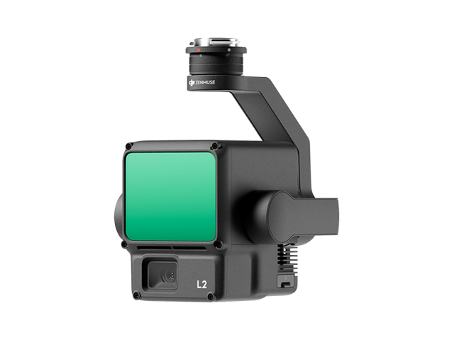
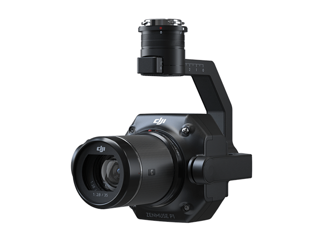
VSURVEY GROUP delivers surveying, photogrammetry, and 3D modeling services for engineering firms, consulting engineers, and public authorities. Every project is based on accurate field data acquired using LiDAR, RTK GNSS, and drone technologies, ensuring precision, reliability, and confidence throughout every stage of the project lifecycle.